Posts

Showing posts with the label chartplotter

Technology and sailing

Image
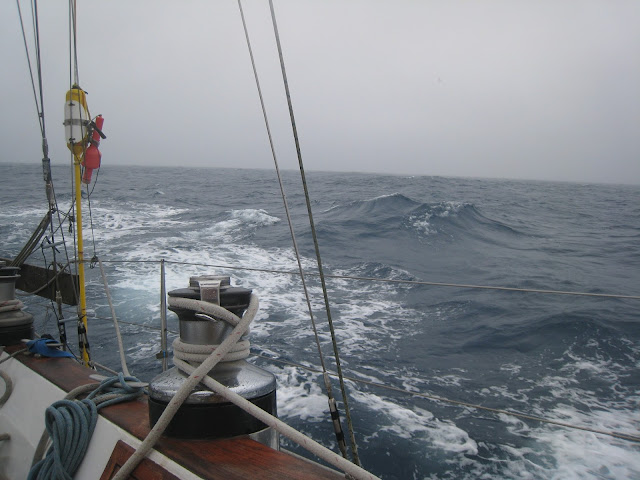
Visibility decreasing as we enter the Bay of Biscay  Not long ago, when people set sail to cross oceans, they set off with some charts, a sextant, sight reduction tables, pencils, dividers, parallel rules, a compass, a log to measure knots and a clock. If they knew the speed at which they were sailing, and how long they had sailed, they could determine where they were. They would back that up by taking sights on the stars and the sun and calculating their lat and long.

The controversy over GPS

Image
Learning advanced navigation for the USCG captains' license - is this obsolete? Periodically, and seemingly with increasing frequency, a cruiser somewhere posts a rant about how technology has reached the stage where paper charts and traditional navigation have been rendered obsolete. Some of these cruisers are very experienced (and I would have thought they'd know better). I feel the need to put forth my proposition for why reliance on one technology that has its flaws is a really undesirable position to be in and has potentially serious consequences for the safety of the crew. It also undermines good seamanship practices.